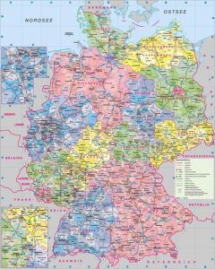
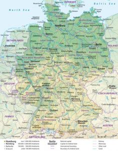
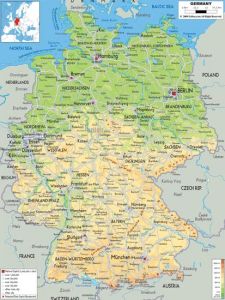
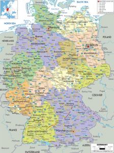
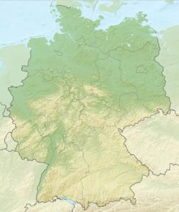
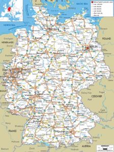
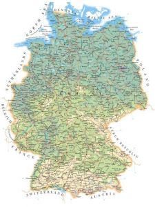
Administrative, physical and relief map of Germany
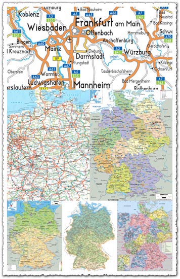
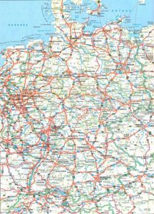
Description: Explore the diverse geography and administrative divisions of Germany with our comprehensive collection of maps. This package includes 11 JPG files showcasing administrative, physical, and relief maps of Germany, each offering unique insights into the country’s terrain, borders, and administrative boundaries. With resolutions of up to 4000 pixels, these maps provide detailed and accurate representations suitable for various educational, research, and design purposes.
Features: Dive into the rich cartographic representations of Germany, encompassing administrative, physical, and relief features. Each map offers distinct perspectives, allowing users to examine political boundaries, topographical features, and geographical landmarks with precision and clarity. Whether you’re studying the country’s administrative regions, planning travel routes, or creating educational materials, these maps serve as invaluable resources for understanding and exploring Germany’s geography.
Usage: Ideal for educators, researchers, travelers, and anyone interested in studying or visualizing Germany’s geography and administrative divisions. Incorporate these maps into classroom presentations, research projects, travel guides, or geographic analyses to enhance understanding and facilitate exploration of Germany’s diverse landscapes and administrative structures.
Graphics: Immerse yourself in the detailed cartographic depictions of Germany, where each map is meticulously crafted to provide accurate representations of the country’s terrain, boundaries, and administrative divisions. From the delineation of states and regions to the depiction of mountains, rivers, and landforms, these maps offer a wealth of geographic information presented in a clear and visually appealing manner.
Download Now: Download our Administrative, Physical, and Relief Map of Germany collection to access a comprehensive set of maps that offer insights into the country’s geography, administrative divisions, and topographical features. Whether you’re conducting research, planning travels, or simply exploring Germany’s diverse landscapes from afar, these maps provide valuable resources for learning, analysis, and visualization.
HELLO, PLEASE TURN YOUR ADBLOCK OFF IN ORDER TO DOWNLOAD THE FILE!
It looks like you're using an ad blocker. That's okay—who doesn't? But without advertising income, we can't keep making this site awesome.


Leave a Reply