Haiti vector maps
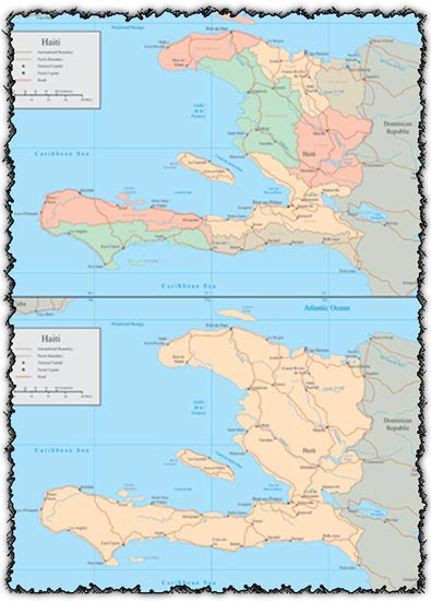
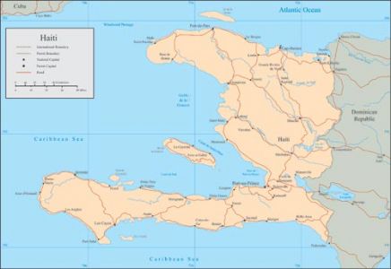
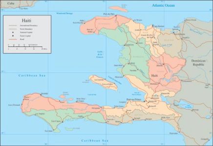
Description: Explore the geography of Haiti with this comprehensive collection of vector maps. Included are various representations, including Administrative Maps, General Maps, and Vector Maps, offering a detailed overview of the country’s regions and boundaries.
Usage: These vector maps are invaluable tools for educational purposes, geographical analysis, cartography, and design projects. Whether you’re creating presentations, illustrating publications, or studying the country’s geography, these maps provide accurate and detailed information.
Download: Obtain these vector maps to enhance your projects and gain insights into Haiti’s geographical features and administrative divisions. Accessible in various formats, they offer flexibility and ease of use for your mapping needs.
HELLO, PLEASE TURN YOUR ADBLOCK OFF IN ORDER TO DOWNLOAD THE FILE!
It looks like you're using an ad blocker. That's okay—who doesn't? But without advertising income, we can't keep making this site awesome.



Leave a Reply