Administrative Europe map vector
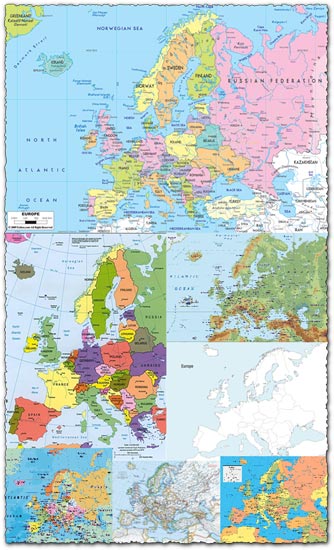
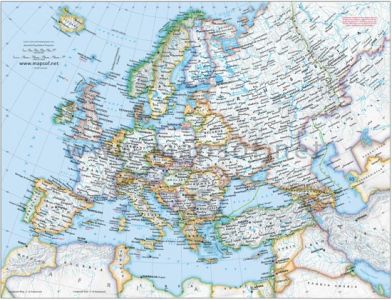
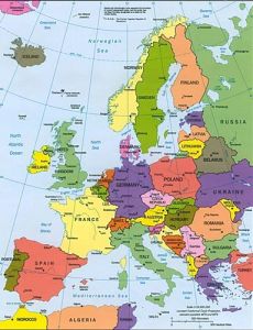
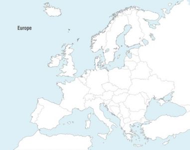
Description: Explore the intricate borders and diverse regions of Europe with our Administrative Europe Map Vector. This comprehensive vector file provides a detailed overview of the administrative divisions within Europe, including countries, regions, and cities. Whether you’re planning a geographical presentation, educational material, or travel-related project, this map vector offers the perfect foundation for showcasing the political and geographical landscape of Europe.
Usage: Incorporate this versatile map vector into a wide range of projects, including presentations, reports, infographics, educational materials, and more. Use it to illustrate political boundaries, highlight specific regions or cities, or provide context for geographical data. With its high-quality design and detailed information, this map vector is an invaluable resource for anyone seeking to visually represent the administrative structure of Europe.
Download Now: Download the Administrative Europe Map Vector today to gain access to a wealth of geographical information and enhance your design projects with accurate and visually appealing maps of Europe’s administrative divisions. With its easy-to-edit format and multiple JPG previews, this vector file is a valuable addition to any designer’s toolkit.
HELLO, PLEASE TURN YOUR ADBLOCK OFF IN ORDER TO DOWNLOAD THE FILE!
It looks like you're using an ad blocker. That's okay—who doesn't? But without advertising income, we can't keep making this site awesome.





Leave a Reply